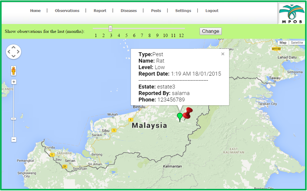
The Oil Palm Resource Information System (OPRIS) is a GIS-based platform developed for comprehensive spatial data management in the oil palm industry. Designed for scientific investigation, resource management, and development planning, it integrates multiple geospatial layers including infrastructure, soil, climate, and land use. Designated for MPOB, OPRIS also enables farmers to report pest and disease incidents across plantations, enhancing industry-wide monitoring and decision-making.
Oil Palm Resources Information System (OPRIS)
Smart Applications